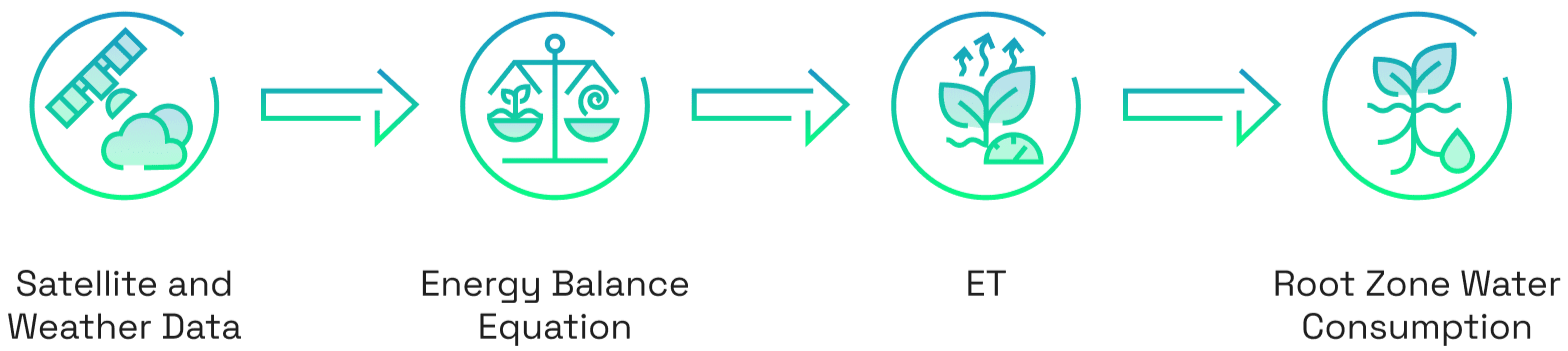
• TIR bands measure surface temperature
• NIR and Visible bands measure NDVI and albedo
There are also various meteorological inputs, such as wind speed, humidity and air temperature, which come from weather stations which work alongside the satellite data for as accurate of a measurement as possible.
The
SEBAL model is applied to each pixel measured by the satellite, meaning that
each pixel represents its
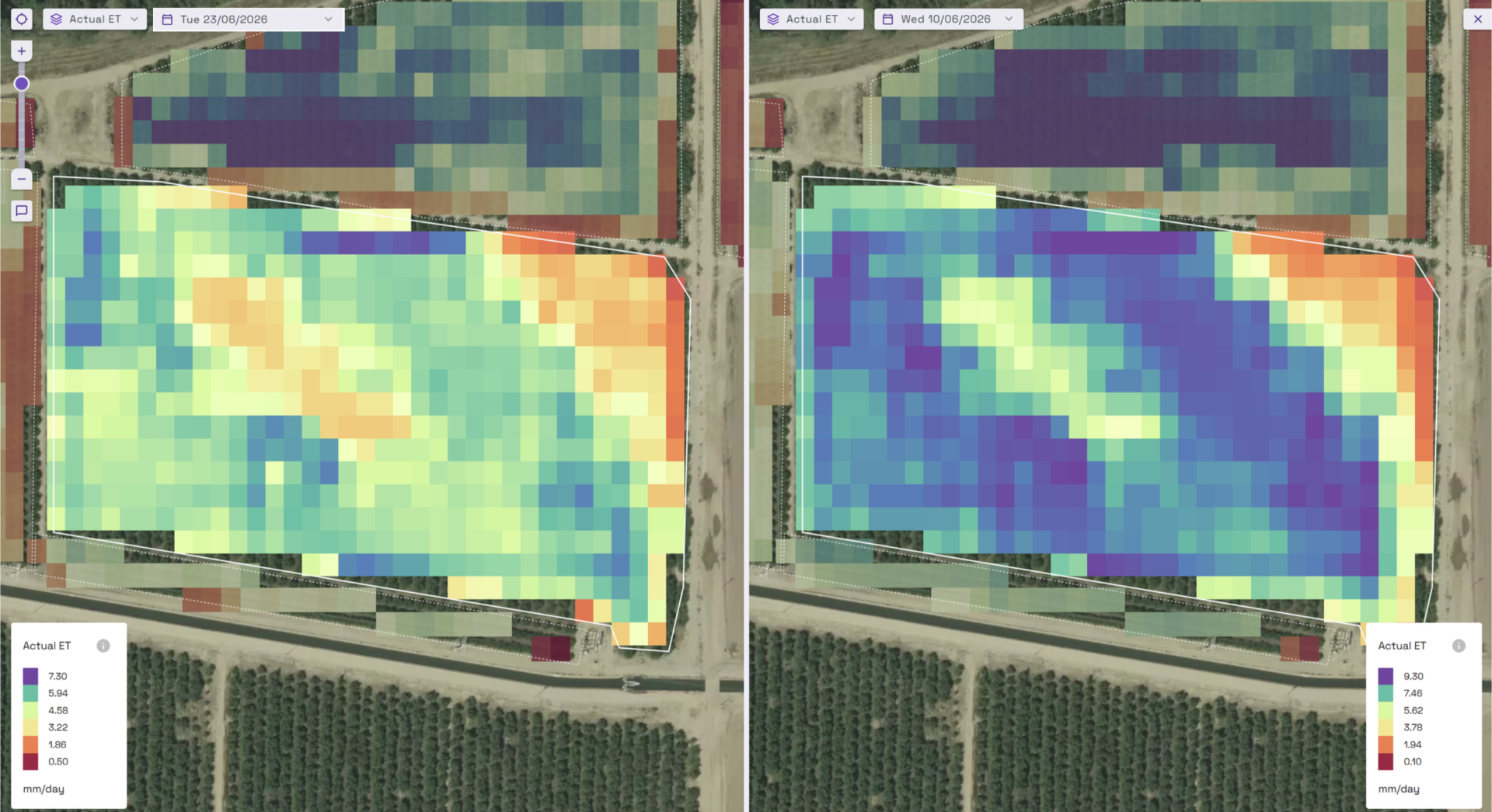
own energy system, to which the energy balance equation is applied, and has its own measurement of water consumption.
This results in a detailed map of water consumption which is updated daily. These insights accumulate weekly, monthly and eventually seasonally so that trends and anomalies can be identified to create a dynamic picture and understanding of water use over time.