
Satellites and Remote Sensing

Remote sensing is a term that refers to the collection of information without ever making physical contact with that object. It predominantly relies on collecting and measuring light.

Hydrosat's Satellites

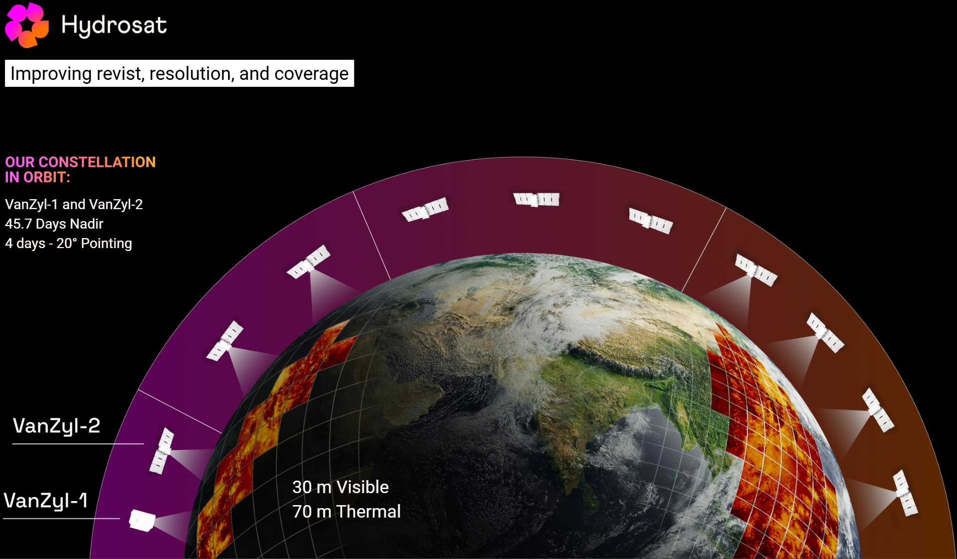
IrriWatch uses data from multiple satellite sources, including those from our own constellation (the term for a collection of satellites working together as a coordinated system for a specific purpose). Constellations have many benefits because their satellites are placed in specific orbital paths that overlap and complement each other, enabling more frequent revisit times (how often the same area is imaged) and improved global coverage.

Hydrosat’s satellites are equipped with both thermal and visible sensors enabling our full suite of analysis. There are currently 2 satellites in operation with a planned launch in 2027 and an overall goal of sub-daily revisits by 2030. This will result in...

resolution visible imagery

resolution thermal imagery

daily and globally.

Currently, our VZ-1 & VZ2 satellites have:

> 10 million km² per day data collection capacity

Roughly the size of Europe + India

Currently, our VZ-1 & VZ2 satellites have:

< 2°K land surface temperature error

Our measurements are extremely accurate

Currently, our VZ-1 & VZ2 satellites have:

Up to 2 weeks earlier risk detection

Stress or anomalies can be detected before it’s too late, with time to mitigate effects

Currently, our VZ-1 & VZ2 satellites have:

Night time monitoring capability

TIR data can be collected at any time, as it measures emitted radiation from the land and not reflected sunlight

Currently, our VZ-1 & VZ2 satellites have:

9 bands across VNIR and LWIR

Visible light, NIR and longwave IR are all measured to get values for NDVI, albedo, vegetation cover and surface temperature

Currently, our VZ-1 & VZ2 satellites have:

Measuring areas as small as 10 m x 10 m (100 m²)

This allows field-level measurements

Currently, our VZ-1 & VZ2 satellites have:

Daily thermal temporal resolution

As of 2026

Currently, our VZ-1 & VZ2 satellites have:

Planned daily visible temporal resolution

As of 2026, the daily visible temporal resolution is every 3 - 5 days

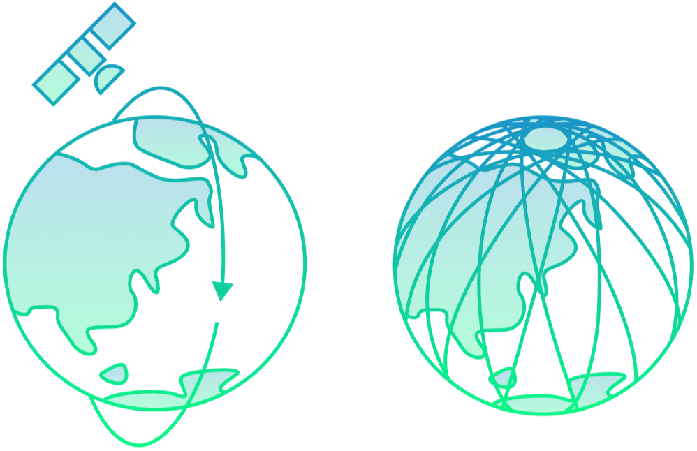
The satellites are circular, near-polar, sun-synchronous meaning they cover most of the earth (just not the poles), from an altitude of ~510 km, and measure data at approximately the same time each day (currently either ~10:30 or ~13:30 depending on the area).

The satellites passing over fields at the hottest part of the day is very intentional as it means the differences in crop temperature are most apparent. This makes it easier to detect water stress, irrigation problems and crop health issues earlier, providing more time to act and protect yields.
IrriWatch daily results are based on this single satellite snapshot captured around midday for both thermal and visible measurements.

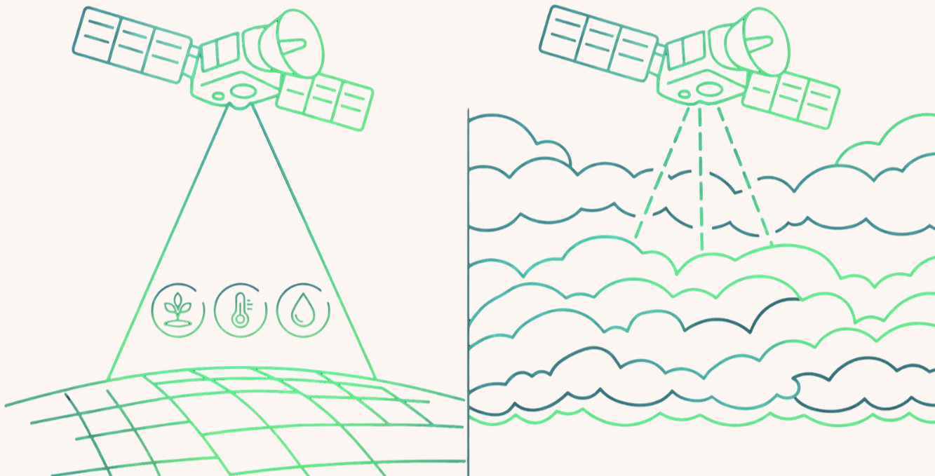
Cloud cover can block satellite observations, especially in visible bands, preventing a daily update. Hydrosat provides a daily near-real-time product, therefore a daily update of data is essential. In the case of cloud cover, results are refreshed by satellite measurement during the next successful satellite overpass. Meanwhile, results are estimated using a soil water balance model driven by the latest satellite crop status and weather data such as air temperature and precipitation. Total crop production corrections are automatically implemented after a long period without satellite update.

The most recent thermal and visible update is shown per field in the IrriWatch platform.  

One downside of satellite imaging is the trade-off between spatial and temporal resolution - choosing between more frequent images or higher quality images, because you generally cannot have both at the same time.

This compromise exists because:

High frequency (high temporal resolution) images require a wide field of view and faster scanning,

which reduces the amount of data collected per pixel. The satellite captures large areas at lower detail but is faster so can come back to the same spot again more often.

It is similar to your phone camera: zooming in means you see tiny features, but you capture a small area and to photograph the whole landscape, you’d need many shots whereas when you’re zoomed out, you capture the whole scene quickly but lose detail.
However, data fusion from various satellites, mean we can have it both ways! By using many high resolution satellites working together, the workload is shared, allowing for both sharp imagery and fast revisit times across the globe.

High quality (high spatial resolution) images require a narrow field of view and slower scanning. 
Since each image contains a large amount of data, a small area is easier for higher detail and the satellite needs more time over that area to gather it so cannot return to the same place very quickly.

Want to learn more? Click below to read about another linked topic

Help us
Improve

Your feedback helps us make our Academy more useful. Tell us about your experience and what you'd like to see next.

Share With
Your Network

Know someone who could benefit?
Share the IrriWatch Academy with your colleagues and network.