Remote Sensing Indices
Water-related components within the platform are primarily driven by thermal measurements (TIR data equates to land surface temperature) and production-related components tend to be from visible light measurements (mainly looking at vegetation indices like NDVI) but corrected for water stress and other stress conditions.
Water-related components within the platform are primarily driven by thermal measurements (TIR data equates to land surface temperature – please click here to learn more). Agriculture in general benefits from some well-known vegetation indices and production-related components tend to be from visible and near infrared light measurements (such as NDVI, TVDI and parameters like Albedo). In the SEBAL model section (click here to go to the SEBAL chapters), you can learn how Hydrosat leverages such indices into the thermal energy balance modelling.
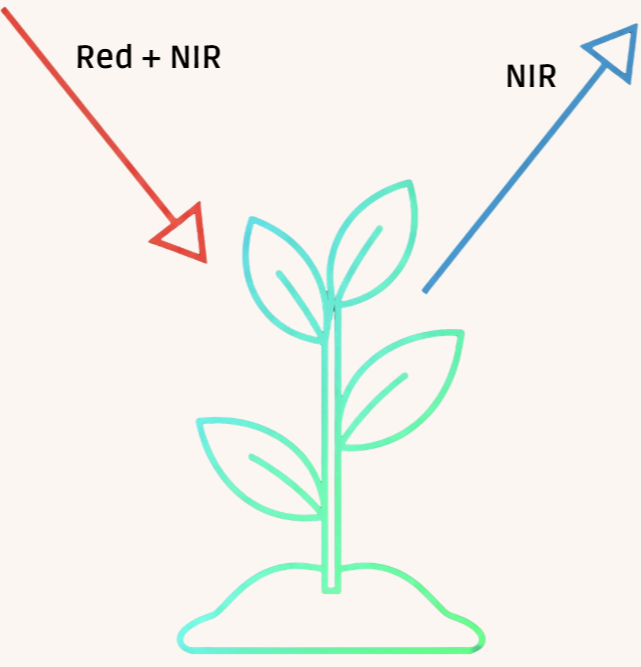
Normalised Difference Vegetation Index (NDVI) is a measure of the ‘vitality’ of crops. It uses near infrared (NIR) and Red bands data for the calculation:
NDVI = (NIR - Red) / (NIR + Red)
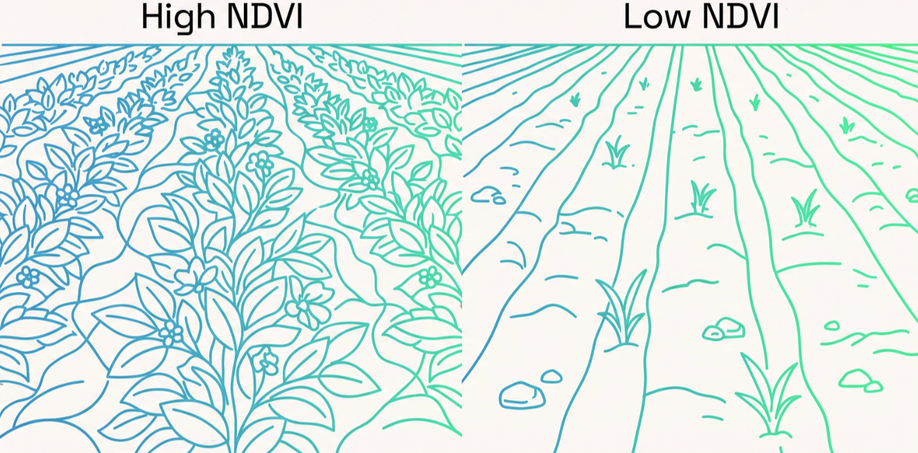
NDVI is an indicator of crop health as healthy plants absorb Red light for photosynthesis and strongly reflect NIR, unhealthy plants do the opposite, and therefore ratioing these two bands allows a numerical measure of crop health. It also is used to compute vegetation cover (the average percentage of vegetation in the field) as non-photosynthesizing surfaces, those without crops, will register as ‘unhealthy’. The Tools for Resellers module has further information on this topic.
Albedo, sometimes referred to as surface reflectance or reflectance coefficient, is another important measure for IrriWatch.
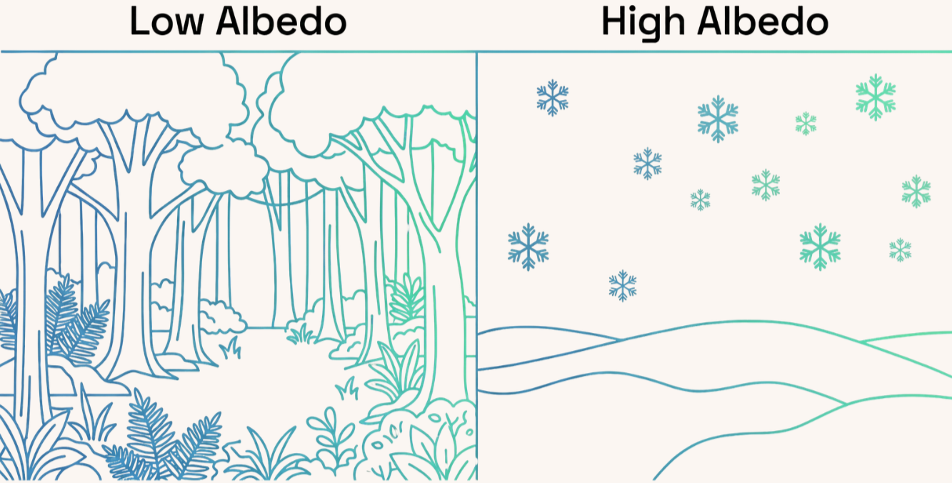
Albedo is a measure of how much solar energy is absorbed vs reflected by a surface. It’s ranked on a scale from 0 to 1 where surfaces that reflect a lot, like fresh snow, score closer to one, and absorbing surfaces that don’t reflect much at all, such as forests or asphalt, score closer to zero. This is relevant to the measure of net radiation (how much energy from the sun is actually available at the surface) as albedo directly controls how much of the incoming energy is available for the elements in the energy balance (see here for more information).
Thermal Vegetation Dryness Index (TVDI) is an indicator used to assess soil moisture conditions and crop water stress.
It combines NDVI and land surface temperature (LST) measurements (from TIR) to gauge these factors. It quantifies how 'hot' a pixel is relative to how vegetated it is. Dry soils have a high LST and therefore a high TDVI but wet soils have lower LST and therefore low TVDI.